Full Service Projects
We’ll handle every detail of your wayfinding project, so your employees can stay focused on the tasks that matter most to your business.
-
Project Scope
-
Map Design
-
UI Design
-
Map Plotting
-
Project Delivery
Project Scope
Chat with our experienced project managers to define the scope and scale of your project. This covers details like the number of maps (campus, floors, buildings), the number of destinations, preferred user interfaces, division of labor, hosting options, special features or external integrations, and the project timeline.
Map Design
After receiving the floorplans, your project manager and our graphic design team will collaborate with you to create a design you’re happy with. This will include color coding, 3D elements, and map projection.
Once you give the final approval, our designers will complete the remaining maps, send them over for one last review, and then move forward with plotting.
Once you give the final approval, our designers will complete the remaining maps, send them over for one last review, and then move forward with plotting.
UI Design
The color scheme, logos, layout, and features have been finalized and incorporated into the UI. Each display method will feature its own unique interface to ensure the best experience for its medium.
A layout and storyboard will be created for each UI to show how the user experience will look. Once approved, our developers will begin building your project.
A layout and storyboard will be created for each UI to show how the user experience will look. Once approved, our developers will begin building your project.
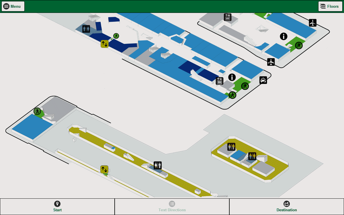
Map Plotting
Once the graphics team finishes the maps, plotting will start. This process defines the available paths and destinations on each map and connects features like elevators or stairs.
Points of interest, waypoints, departments, and other markers can be added to keep the directory organized. Routes can also be prioritized to create customized paths.
Points of interest, waypoints, departments, and other markers can be added to keep the directory organized. Routes can also be prioritized to create customized paths.
Project Delivery
When all parts of the project are finished, we’ll deliver the completed product. At that point, any final tweaks can be made if needed.
Once you’re happy with everything, you can roll out the wayfinding project however you prefer.
Once you’re happy with everything, you can roll out the wayfinding project however you prefer.
Ala Carte
Cut down on out-of-pocket expenses if you already have team members who can handle some of the tasks.
Got graphic designers to create maps?
Programmers to build the UI?
Folks who can take care of plotting?
And of course, we’ll be here to help if any questions come up.
Do-It-Yourself Wayfinding
Our SDK lets you easily assemble everything needed to generate directions for your location.
We’re also happy to provide guidance as you build your wayfinding system.
We’re also happy to provide guidance as you build your wayfinding system.
Frequently Asked Questions
What is Here2There?
Here2There is a digital wayfinding and smart-grid navigation platform that provides interactive maps, ADA-compliant routes, and multi-device navigation for large facilities.
How does Here2There work?
It uses proprietary routing algorithms to generate accurate, step-by-step directions across kiosks, touchscreens, web, and mobile devices.
Who uses Here2There?
Hospitals, universities, airports, malls, corporate campuses, and other large facilities that require intuitive navigation.
Is Here2There ADA compliant?
Yes, Here2There offers accessible routes that skip stairs, restricted zones, and non-compliant paths. It also creates user-friendly interfaces to make sure all controls are within reach, following ADA guidelines.
Can Here2There run on kiosks and mobile devices?
Yes. It supports kiosks, touchscreens, browsers, and mobile devices, and provides a seamless QR-to-mobile handoff.
Does Here2There support custom branding?
Absolutely! Colors, icons, UI elements, and map styles can all be customized to your liking. Our team will collaborate with you to make sure you’re happy with the design of both the UI and the maps.
Can staff update maps and locations?
Yes, our proprietary Plotter enables real-time updates to locations, routes, and facility changes. Staff information can also be imported from an external source, reducing the need for manual updates to staff offices.